
Skip to content
Utica Shale
  • Lease Maps
    • Mahoning County
    • Columbiana County
  • About
  • Privacy Policy

Mahoning County

Mahoning County First Movers Assembling Unit Acreage
November 20, 2026November 1, 2026 by Greg Bogdan

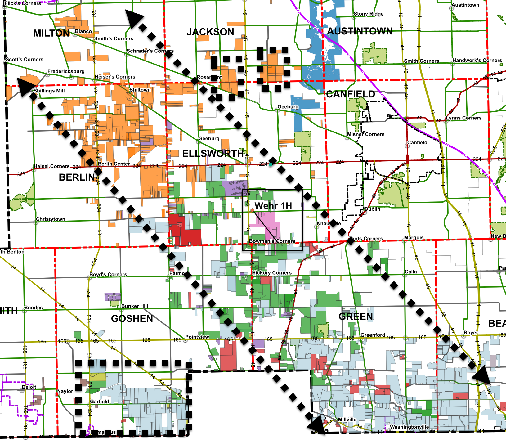
Leases recorded in Mahoning County in 2026 now cover about 18,000 acres. The lease map shows where first movers are assembling the contiguous acreage needed for Utica/Point Pleasant drilling units, and why legacy wells and clouded titles are slowing leasing elsewhere.

Categories Mahoning County, Northern Tier Trend

Featured Maps

Mahoning County

Map of Mahoning County, Ohio oil and gas leases recorded through November 19, 2026, colored by lessee company

Who's leasing Mahoning County? Leased parcels by lessee, recorded through Nov 19, 2026.

View maps →

Columbiana County

Map of Columbiana County, Ohio oil and gas leases recorded 2020 through November 17, 2026, colored by lessee company, with Utica wells and ODNR drilling units

Where new leasing meets the original Utica units. Leases by lessee since 2020, with Utica wells and drilling units, through Nov 17, 2026.

View maps →

Recent Posts

  • Logana Exploration Adds 13 Leases in Mahoning and Columbiana Counties
  • Nearly 600 Mahoning and Columbiana Utica Leases on 13,000 Acres Flipped to Valedor Energy and Logana Exploration
  • Mahoning County OH, O&G Leases Over Time
  • Mahoning County First Movers Assembling Unit Acreage
  • Utica Oil-Gas Boundary: Transition Shapes Economics
© 2026 Utica Shale • Built with GeneratePress